Perspectives · Research and product
Can satellite derived insights be a credible complement to survey design, monitoring and evaluation efforts in data sparse environments? At Atlas AI, we are determined to find out.
Anaïs Tadlaoui

Perspectives · Research and product
Anaïs Tadlaoui
Any operator looking to better understand ground conditions in data scarce environments faces a multitude of challenges that include — but are hardly limited to — the limitations of official statistics, wrangling disparate data sources that are insufficient in scope and often out of date, and the difficulty of collecting new data — an expensive, time-consuming and resource intense endeavor.
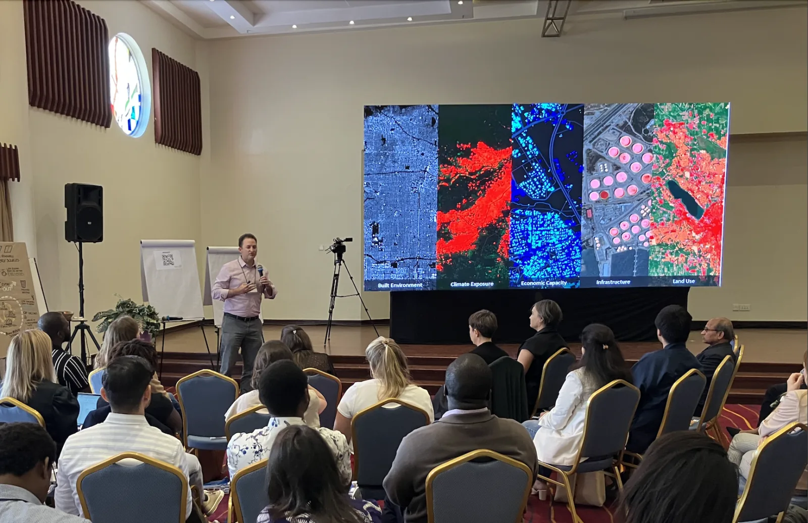
Over the last several years, the remarkable increase in satellite-derived information and advancements in machine learning techniques have begun to significantly shift how we create new data and make inferences accordingly. It’s an exciting time for the monitoring and evaluation (M&E) space but with excitement comes a host of important questions that the research community is actively exploring:
The founders of Atlas AI, three Stanford scientists — Marshall Burke, David Lobell and Stefano Ermon — released an article in Science that reviewed and synthesized the rapidly growing scientific literature that seeks to use satellite imagery to measure and understand various human outcomes, including many outcomes directly related to the Sustainable Development Goals (SDGs).

Their work made four main points:
Read the full article in Science here.
Learn more about Atlas AI’s work here.