Perspectives · Partnerships
Atlas AI and e-GUIDE Begin Delivering Innovative Data Products for Climate Adaptation in East Africa
Emily Logan

Perspectives · Partnerships
Emily Logan
East Africa saw its fifth straight failed rainy season, pushing the region into widespread severe food insecurity. As we face a warming climate the rainy seasons will be less reliable, resulting in food insecurity, malnutrition and conflict if the region doesn’t adapt to this new normal. One potential solution is targeted investment of irrigation infrastructure in climate-sensitive areas which, in turn, requires access to electricity. Identifying where energy and agriculture investments should be co-located is just one example of how a data-informed systems-level view of climate vulnerability and economic potential can drive impactful public policy.
The Rockefeller Foundation’s Interconnected Pathways to Development project is intended to address systems-level development questions such as this one. Atlas AI is advancing research to inform public policy and investment at the intersection of the agriculture, energy and transportation sectors in East Africa, along with academic collaborators from the University of Massachusetts Amherst, Rochester Institute of Technology, Carnegie Mellon University, and Columbia University, collectively known as e-GUIDE, and the Kigali Collaborative Research Center. The platform developed through this research was intended to identify those cross-sectoral investment decisions and we hit some milestones in our work.
To enable the broadest possible access to the results of our research we deployed a publicly available version of Atlas AI’s geospatial platform Aperture® to host a range of novel data products and reports, to help answer questions that promote local development while combating the detrimental effects of climate change. The platform allowed users to visualize and download geospatial data, read documentation on its development, and provided access to policy briefs and reports that highlight specific use cases.

Some of the data products available on Aperture® included the Atlas of Human Settlements and Spending, available for years 2016 - 2021 for Rwanda, Uganda, Kenya, Nigeria and Ethiopia. Human settlements are aggregations of all registered built-up structures protruding from the ground while Spending estimates the number of dollars spent on average per person per day in international dollars. Human Settlements allow you to assess changes over time, or detect people in the most rural areas, while Spending can be used to track socio-economic change and correlate those changes with development investments.

To inform and independently review our research, as well as aid in broad dissemination of the platform and research, we are honored to be joined in this project by an esteemed advisory board of independent experts. Our advisory board consisted of:
Our advisory board is pivotal in the direction and success of our project. They will guide us in direction, help us connect with key stakeholders, and help inform prioritization of specific workstreams.

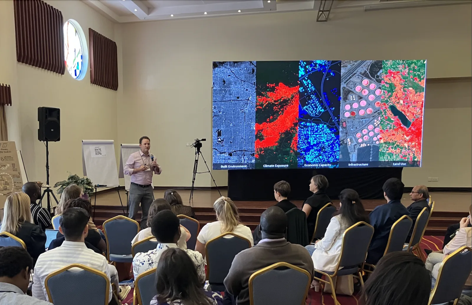
Atlas AI and e-GUIDE convened two stakeholder meetings, one in Kigali and one in Nairobi with participants from academia, government agencies and non-profit organizations. We presented our motivation for the project, data products developed so far, and highlighted our platform capabilities and availability. We were pleased by the positive nature of the feedback from participants on the potential of the new data products we presented to aid in electricity planning and climate change adaptation. Specifically attendees were excited about using our data products for county level planning initiatives and they were applauded for its usefulness in government planning.
Through the development of novel data products and a publicly available platform, this collaboration has brought us one step closer to our goal of improving development decisions at a systems level. Our platform can enable end users to have a more dynamic view of local conditions, which ultimately has large implications for planning capabilities. Based on feedback from our stakeholders, we were already starting to see the benefits of our data and the potential areas to showcase its impact. As Zia Khan, then Senior Vice President of Innovation at The Rockefeller Foundation said at the start of our project, “While data science has been used to improve individual development projects, we haven’t yet unlocked its potential to improve development at a systems level.” One year into the project, we were already seeing that our work could drive a systems level view and policymakers, investors and governments were excited to test this innovative approach.